Property Record
7251 Deep Run, Bloomfield Hills, MI 48301


NEARBY LISTINGS FOR SALE OR LEASE
-
-
View all Bloomfield Hills listings for sale on LoopNet.com
Property Detail
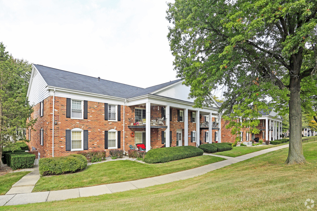
7251 Deep Run
19-32-477-003
T2N, R10E, SEC 32 PART OF SE 1/4 BEG AT SE SEC COR, TH S 88-12-50 W 856.52 FT, TH NLY ALG ELY LINE OF TELEGRAPH RD AS WIDENED TO E SEC LINE, TH S 17-33-10 E 2459.47 FT ALG ELY SEC LINE TO BEG EXC S 60 FT IN HWY, ALSO EXC BEG AT INTER OF NLY LINE OF 1
Commercialnec
Oakland
X
Michigan
26125C0516F
21.19 AC
2024
Bloomfield Hills
2024
Detroit
150900
Detroit-Warren-Dearborn, MI
255,136 SF
DEMOGRAPHICS near 7251 Deep Run
1 Mile
3 Mile
5 Mile
2024 Total Population
4,882
55,922
182,684
2029 Population
4,819
55,353
181,052
Pop Growth 2024-2029
(1.29%)
(1.02%)
(0.89%)
Average Age
45
44
44
2024 Total Households
1,842
22,244
76,008
HH Growth 2024-2029
(1.30%)
(1.00%)
(0.86%)
Median Household Inc
$137,809
$118,641
$104,896
Avg Household Size
2.60
2.50
2.30
2024 Avg HH Vehicles
2.00
2.00
2.00
Median Home Value
$549,572
$488,117
$377,851
Median Year Built
1967
1967
1967
Nearby Places
- Restaurants
- Banks
- Shops
- Fitness
- Groceries
PUBLIC TRANSPORTATION
COMMUTER RAIL
Troy Amtrak Station (Wolverine - Amtrak)
DRIVE
WALK
Distance
Troy Amtrak Station (Wolverine - Amtrak)
14 min
6.0 mi
Pontiac Amtrak Station (Wolverine - Amtrak)
DRIVE
WALK
Distance
Pontiac Amtrak Station (Wolverine - Amtrak)
14 min
8.0 mi
AIRPORT
Windsor International
DRIVE
WALK
Distance
Windsor International
52 min
30.5 mi
Detroit Metro Wayne County
DRIVE
WALK
Distance
Detroit Metro Wayne County
45 min
35.8 mi
Freight Ports
Port of Toledo
DRIVE
WALK
Distance
Port of Toledo
94 min
77.4 mi
Nearby Properties
Address
Land Use
TOTAL SIZE
Lot Size
Zoning
Address
Land Use
TOTAL SIZE
Lot Size
Zoning
544,945 SF
23.89 AC
BI
Address
Land Use
TOTAL SIZE
Lot Size
Zoning
439,171 SF
28.57 AC
RMM
Address
Land Use
TOTAL SIZE
Lot Size
Zoning
167,882 SF
16.18 AC
BI
Address
Land Use
TOTAL SIZE
Lot Size
Zoning
261,633 SF
12.19 AC
RMM
Address
Land Use
TOTAL SIZE
Lot Size
Zoning
246,695 SF
18.46 AC
BI
Address
Land Use
TOTAL SIZE
Lot Size
Zoning
17.19 AC
RC
Address
Land Use
TOTAL SIZE
Lot Size
Zoning
248,911 SF
4.55 AC
RC
Address
Land Use
TOTAL SIZE
Lot Size
Zoning
233,598 SF
17.24 AC
RS
Address
Land Use
TOTAL SIZE
Lot Size
Zoning
63,550 SF
4.18 AC
AI
Address
Land Use
TOTAL SIZE
Lot Size
Zoning
367,101 SF
37.77 AC
R-E
Address
Land Use
TOTAL SIZE
Lot Size
Zoning
96,774 SF
6.34 AC
BI
Address
Land Use
TOTAL SIZE
Lot Size
Zoning
306,250 SF
14.60 AC
RC
Address
Land Use
TOTAL SIZE
Lot Size
Zoning
218,023 SF
21.80 AC
AI
Address
Land Use
TOTAL SIZE
Lot Size
Zoning
280,984 SF
11.88 AC
ERO-M
Address
Land Use
TOTAL SIZE
Lot Size
Zoning
288,641 SF
13.56 AC
RMM
Address
Land Use
TOTAL SIZE
Lot Size
Zoning
289,820 SF
20.40 AC
RM
Address
Land Use
TOTAL SIZE
Lot Size
Zoning
102,093 SF
4.44 AC
BI
Address
Land Use
TOTAL SIZE
Lot Size
Zoning
190,413 SF
10.49 AC
RS
Address
Land Use
TOTAL SIZE
Lot Size
Zoning
87,062 SF
8.74 AC
R-4
Address
Land Use
TOTAL SIZE
Lot Size
Zoning
257,000 SF
10.56 AC
RC
Address
Land Use
TOTAL SIZE
Lot Size
Zoning
158 SF
17.44 AC
RM
Address
Land Use
TOTAL SIZE
Lot Size
Zoning
336 SF
12.18 AC
RM
Address
Land Use
TOTAL SIZE
Lot Size
Zoning
67,645 SF
6.17 AC
BI
Address
Land Use
TOTAL SIZE
Lot Size
Zoning
491,000 SF
11.62 AC
RC
Address
Land Use
TOTAL SIZE
Lot Size
Zoning
80,884 SF
6.81 AC
B-3
Address
Land Use
TOTAL SIZE
Lot Size
Zoning
176,141 SF
6.41 AC
BI
Address
Land Use
TOTAL SIZE
Lot Size
Zoning
176,052 SF
6.43 AC
BI
Address
Land Use
TOTAL SIZE
Lot Size
Zoning
60,603 SF
6.52 AC
BI
Address
Land Use
TOTAL SIZE
Lot Size
Zoning
46,288 SF
155.56 AC
MM
The World's #1 Commercial Real Estate Marketplace
Connect with us
© 2025 CoStar Group
The information above has been obtained from sources believed reliable. While we do not doubt its accuracy we have not verified it and make no guarantee, warranty or representation about it. It is your responsibility to independently confirm its accuracy and completeness. Any projections, opinions, assumptions, or estimates used are for example only and do not represent the current or future performance of the property. The value of this transaction to you depends on tax and other factors which should be evaluated by your tax, financial, and legal advisors. You and your advisors should conduct a careful, independent investigation of the property to determine to your satisfaction the suitability of the property for your needs.